Santorini
Santorini (Greek: Σαντορίνη), Thira (Greek: Θήρα), or Santorini, is a group of volcanic islands located in the Aegean Sea, 200 km southeast of Greece.
Between 1650 and 1450 BC, the volcano collapsed in a short time with an eruption called the Minoan Eruption, leaving 73 square kilometers of the island under the sea. This is one of the largest known volcanic events in history, causing natural events with devastating effects in the Eastern Mediterranean. The greatest known destruction took place in Crete, wreaking havoc on the Minoan civilization centered on this island.
The initial impact of the collapse was the destruction of fishing villages, settlements above sea level, and trade and fishing boats on the seas or in ports along Crete’s northern and northwestern coasts, as a result of the tsunami caused by the collapse. The second wave was volcanic ash sprinkled from windblown dust clouds and caused almost the entire island of Crete to be covered with a ten-centimeter-thick layer of volcanic ash.
Traces of tephra released by the Santorini volcano are also found in Turkey. The eruption materials are found on the terrestrial surfaces of the islands near Santorini, while further away they are found in the sediments of lakes and seas. This volcanic material, which spread over large areas of the atmosphere, caused global cooling. Traces of global cooling can be detected from tree rings of those years.[1]
The places where the tephra layers of the Santorini volcano are seen in Turkey and their thickness are as follows: Burdur Gölhisar Lake (1–4 cm), Salihli Gölcük Lake (12 cm), Köyceğiz Lake (9 cm). In addition, these ashes were found in the soundings made in the Nile Delta, the Mediterranean and Sinop[1].
crater on the island
There is no clear view today that the disappearance of the Minoan civilization from the stage of history was the result of this event. It is generally accepted that the Minoan civilization was plundered and burned by Mycenaean warriors after the destruction caused by this disaster.
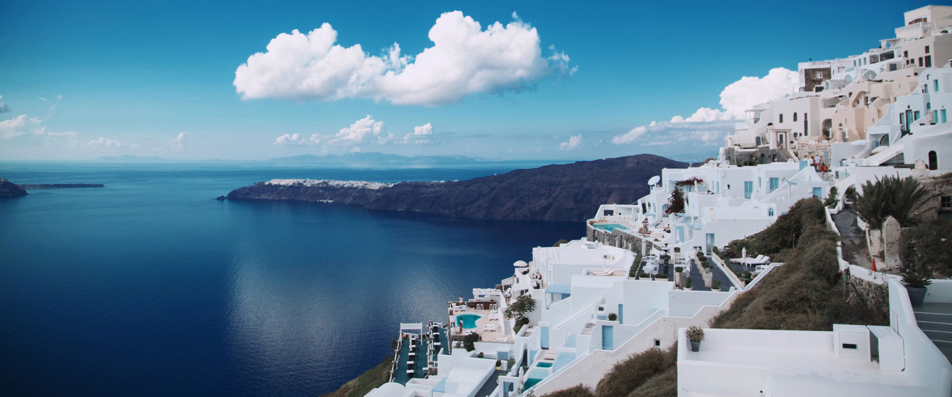
Today Santorini is one of the most sought-after tourist destinations in the Mediterranean.
Kamari (airport is in the background)
geography
Detailed map of Santorini and nearby islands
geological structure
The Cyclades Islands are part of a metamorphic complex called the Cycladic Massif. The complex was formed during the Miocene and folded and metamorphosed during the Alpine orogeny about 60 million years ago.
Thera is clustered on a small, non-volcanic basement rock that represents an ancient non-volcanic island measuring approximately 9 x 6 km (5.6 x 3.7 mi). The basement rock is mainly composed of metamorphosed limestone and schist dating to the Alpine Orogeny. These non-volcanic rocks occur between the Micro Profititis Ilias, Mesa Vouno, Gavrillos ridge, Pyrgos, Monolithos and the inner side of the caldera wall between Cape Plaka and Athinios.
The metamorphic grade is a blueschist facies resulting from subduction tectonic deformation of the African Plate under the Eurasian Plate. Subduction occurred between the Oligocene and Miocene, and the metamorphic grade represents the southernmost extension of the Cycladic blueschist belt.
climate
Santorini has a semi-arid climate with Mediterranean characteristics (it is in the BSh climate zone in the Köppen climate classification).[2]
The annual average precipitation total is 371 millimeters (14.6 in). Strong winds can also be observed in summer.[3]